Published: 22 Jul 2026
If you are planning a construction or engineering project, one of the first things you may be told you need is a topographical survey, which is sometimes called a land survey. But what exactly is this type of survey, and why is it so important?
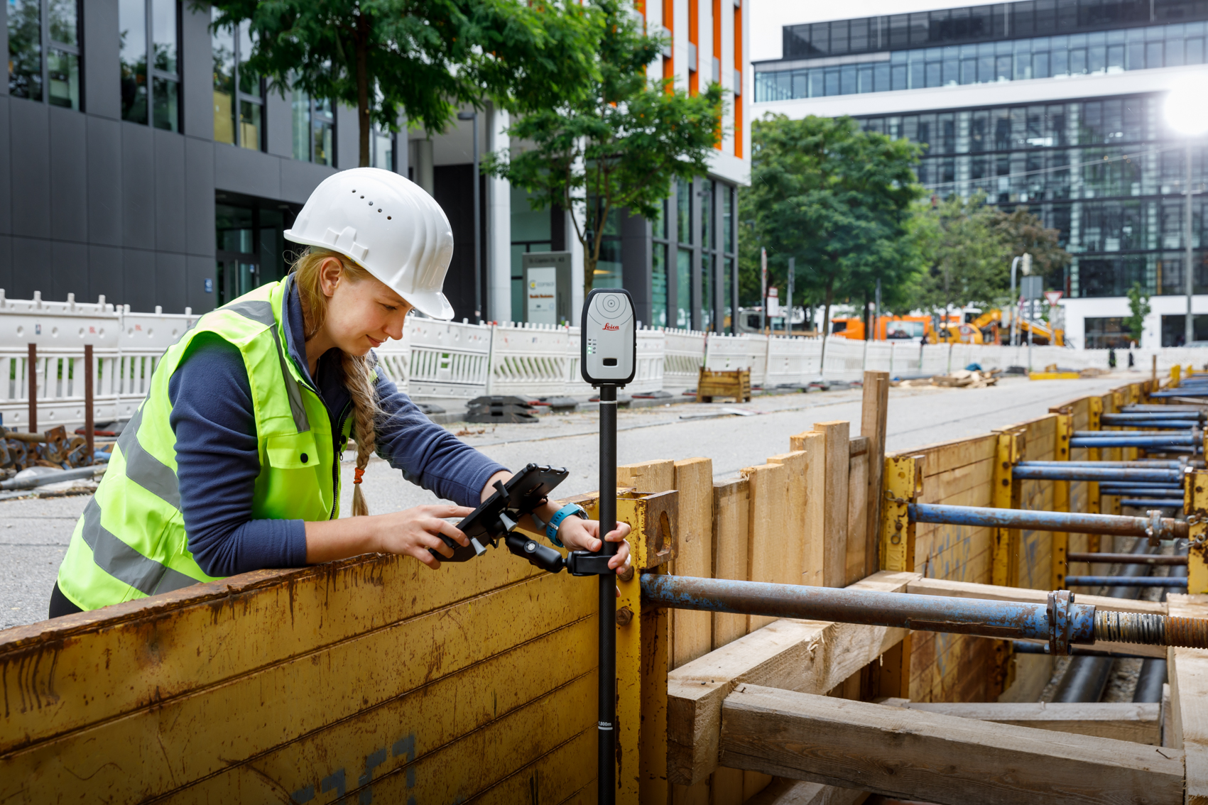
A topographical survey is a detailed measurement of the features within a site that gives you a clear picture of what already exists on the ground before any design or construction begins. It captures natural elements, like ground levels, trees and vegetation, and man-made features, such as buildings, roads, kerbs, walls and visible drainage features, for example gullies, manhole covers or downpipes.
Information from the survey can be delivered in several formats, including CAD drawings, a PDF plan, a 3D model or a point cloud.
When do you need a topographical survey?
Topographical surveys are used at multiple stages of a project, from early planning through to completion. They can be used for planning residential or commercial developments, roads, railways and infrastructure. Useful for assessing boundary lines, rights to light or party wall issues, they can also be commissioned to support land sales or redevelopment of sites, or to monitor ground movement and any structural changes.
Topographical surveys can also create accurate records of a site at a specific point in time, which can prove invaluable later on in a project’s lifecycle.
Why are topographical surveys so important?
If designers and engineers do not have an accurate understanding of a site, they may make mistakes in design. This can lead to construction delays and ultimately unexpected and increased costs.
A topographical survey helps reduce these risks by ensuring everyone involved in the project is working from the same reliable data.
One important thing to know about topographical surveys
The survey needs to be properly specified, as a survey that is suitable for one purpose, for example outlining buildings for demolition, may not be detailed enough for another, which might need very precise design work. Getting this right at the outset will save time, avoid unnecessary costs and ensure the survey delivers real value throughout your project. A reputable survey practitioner (such as a TSA member company) can help you decide on the correct specification for your requirements.
You can learn more in our full client guide, which explains how to specify a topographical survey, what to ask for, and how to get the best results for your project. The Survey Association publishes a range of guidance notes on different aspects of surveying – access all our guides here https://www.tsa-uk.org.uk/resources/downloads/