Published: 05 Aug 2026
Once you’ve decided you need a topographical survey, the next question is often, what does it actually entail, followed by, how do I choose the right surveyor?
How topographical surveys are carried out
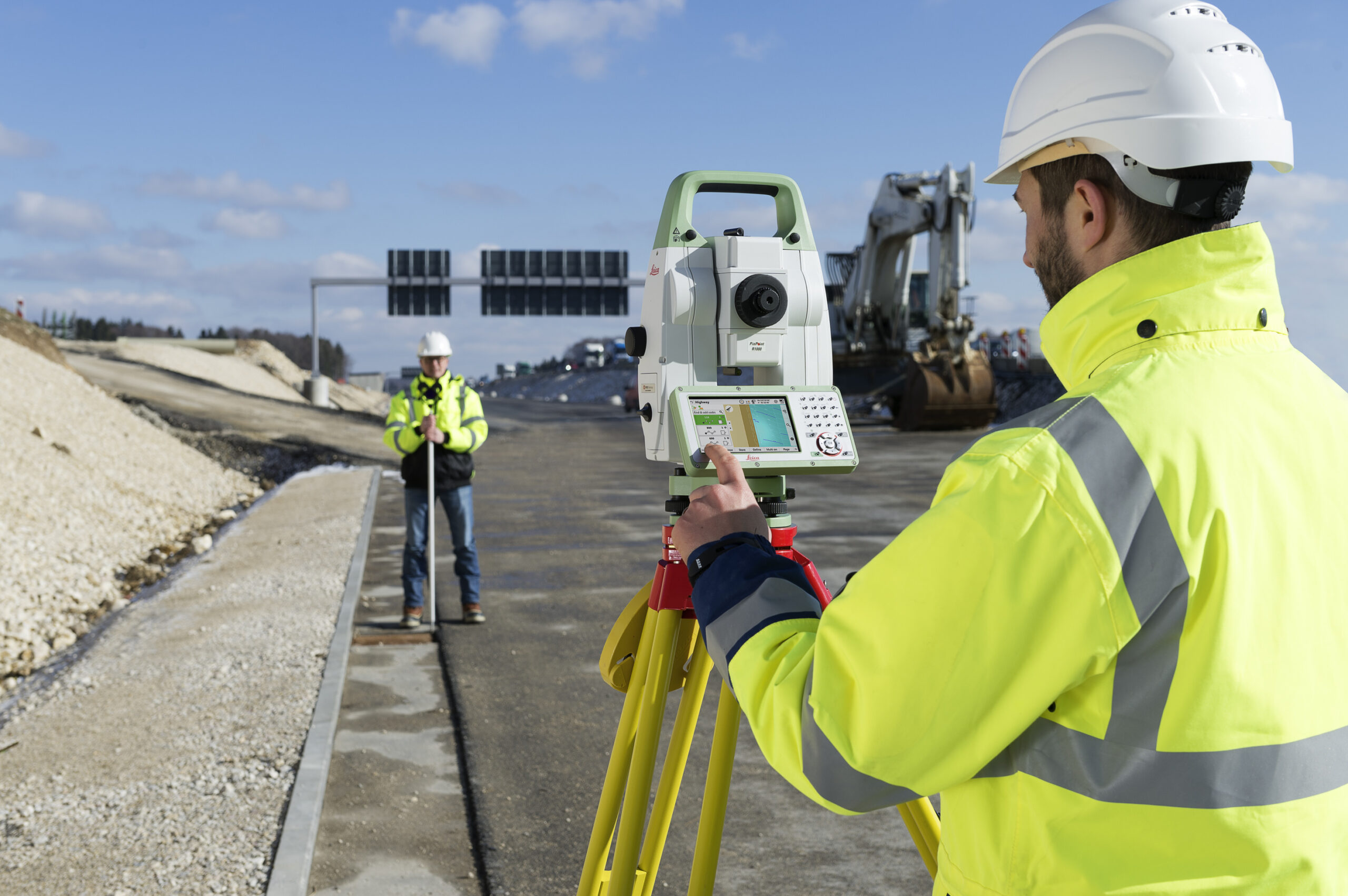
Modern topographical surveys use a range of technologies to capture accurate data. Of course, you don’t need to choose the appropriate technology as your surveyor will do that for you. Equipment may include a total station for precise measurement, GNSS (satellite positioning) for wide-area coverage, laser scanners to capture detailed 3D data and drones and aerial imaging for large or hard-to-access sites. These methods are usually combined to achieve the best result. For example, a large, open site may benefit from drone surveys to capture data quickly, a dense urban area often relies on more precise ground-based instruments, while high-accuracy areas may require additional targeted measurements.
Behind every survey is a framework of reference points known as survey control. This ensures that all measurements are consistent and can be reused across different stages of a project, reducing the risk of errors, saving time on future surveys and helping different datasets align correctly.
Understanding deliverables
Survey outputs are increasingly digital. While traditional plans are still used, many clients now require CAD files, structured data for digital workflows and 3D models or point clouds. If your project uses a Common Data Environment or specific naming conventions, these should be shared with your surveyor early on in the process.
Choosing the right survey partner for a topographical survey
When seeking quotations, it’s important to provide a clear brief, including:
- The purpose of the survey
- The survey area
- Required accuracy and detail
- Data formats and deliverables
- Site constraints and programme
You may receive different proposed methods from different companies. This is normal, as surveying is a fast-evolving field, and there are often multiple ways to achieve the same outcome. The key is to ensure you are comparing like-for-like outputs, not just price.
Why work with a TSA member?
TSA member companies are experienced in delivering reliable, high-quality survey data across a wide range of projects. Working with a professional geospatial surveyor helps reduce project risk, avoid repeating work and ensure your data is fit for purpose.
To specify and procure with confidence, download our full client guide for detailed advice on survey methods, tendering, and choosing the right provider. The Survey Association publishes a range of guidance notes on different aspects of surveying – access all our guides here https://www.tsa-uk.org.uk/resources/downloads/.