Published: 18 Feb 2014
The Survey Association say local focus needed to revise national flood maps
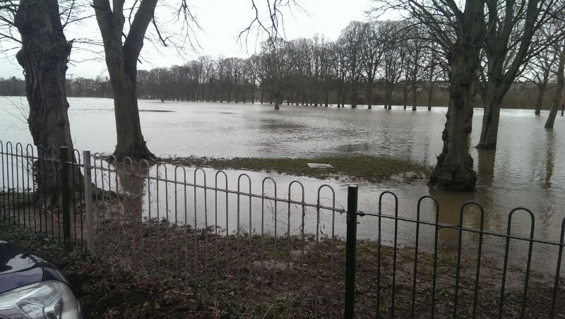
Photo Mapp puts data collection in the hands of homeowners
A member of The Survey Association has launched Photo Mapp, an iPhone App that can be used by flood victims to record water levels in their properties. The information could aid insurance claims, grant applications and will also help the Environment Agency identify flood event levels in places they don’t have recorders. The survey industry is innovative and is looking for new and different ways to ensure data collection is relevant and fit for purpose. www.tsa-uk.org.uk/
Background
The Survey Association (TSA), the trade body for private sector land and hydrographic surveyors were lobbying government on the subject of flooding as far back as 2007. At a reception at the House of Commons they highlighted the cuts to the Environment Agency’s risk management budget and how this would impact on the role their members play in producing the accurate data, so essential when dealing with issues of flooding.
Then as now, when the waters start to recede and the clear up begins, accurate data collection issues are in danger of falling off the agenda – until it all happens again.
What does Photo Mapp do?
- Photo Mapp is an iPhone App that creates PDF documents with details of location, date, time, photos and notes in one place
- Readable and available to print out across all relevant agencies and industries
- Similar to a witness diagram
- Information and layout designed to enable an inspection of the location
- The PDF can be sent to the Environment Agency who could instruct a surveyor to accurately measure the height of the recorded flood mark
- These measurements can be used to calibrate existing flood models which in turn provides more accurate flood predictions for the future
- Photo Mapp is simple to use and produces comprehensive documents from an iPhone in real-time, particularly helpful if a computer is out of action because of flood damage
- It is available now and can be downloaded to record the critical detail required for homeowners to start helping themselves and the Environment Agency to alleviate their flooding issue
https://itunes.apple.com/gb/app/photo-mapp-an-accurate-story/id807955322?mt=8
The role of the surveyor
The characteristics of the land dictate where rain goes when it falls and at what speed.
In order for science to determine the exact path the water takes, it is vitally important to understand the shape of the land. The survey industry provides this information to scientists and hydraulic engineers. Flood models are calculated from the geometry of the land.
Most national flood maps are based on large data sets that are derived from less accurate data but give a good indication of where flooding could occur. In high risk areas surveyors are often commissioned to improve the accuracy of these maps to provide more targeted information on local flooding issues.
This information may include more accurate river surveys to provide critical characteristics of the river and precise height information of properties, roads and railways so the true relationships between the infrastructure and potential floodwaters is known.
The Environment Agency has a stringent specification for surveyors to work to so that whole catchment models can be created and worked on with confidence across the entire dataset.
Ends
Available for interview:
Graham Mills, President of The Survey Association and MD of Technics Group
Mike Hopkins, creator of Photo Mapp and MD of Storm Geomatics
For further information and to arrange an interview contact Ruth Badley PR, 01423 884063, 07929 420 360 ruth.badley@btconnect.com