Published: 10 Jun 2026
Introduction
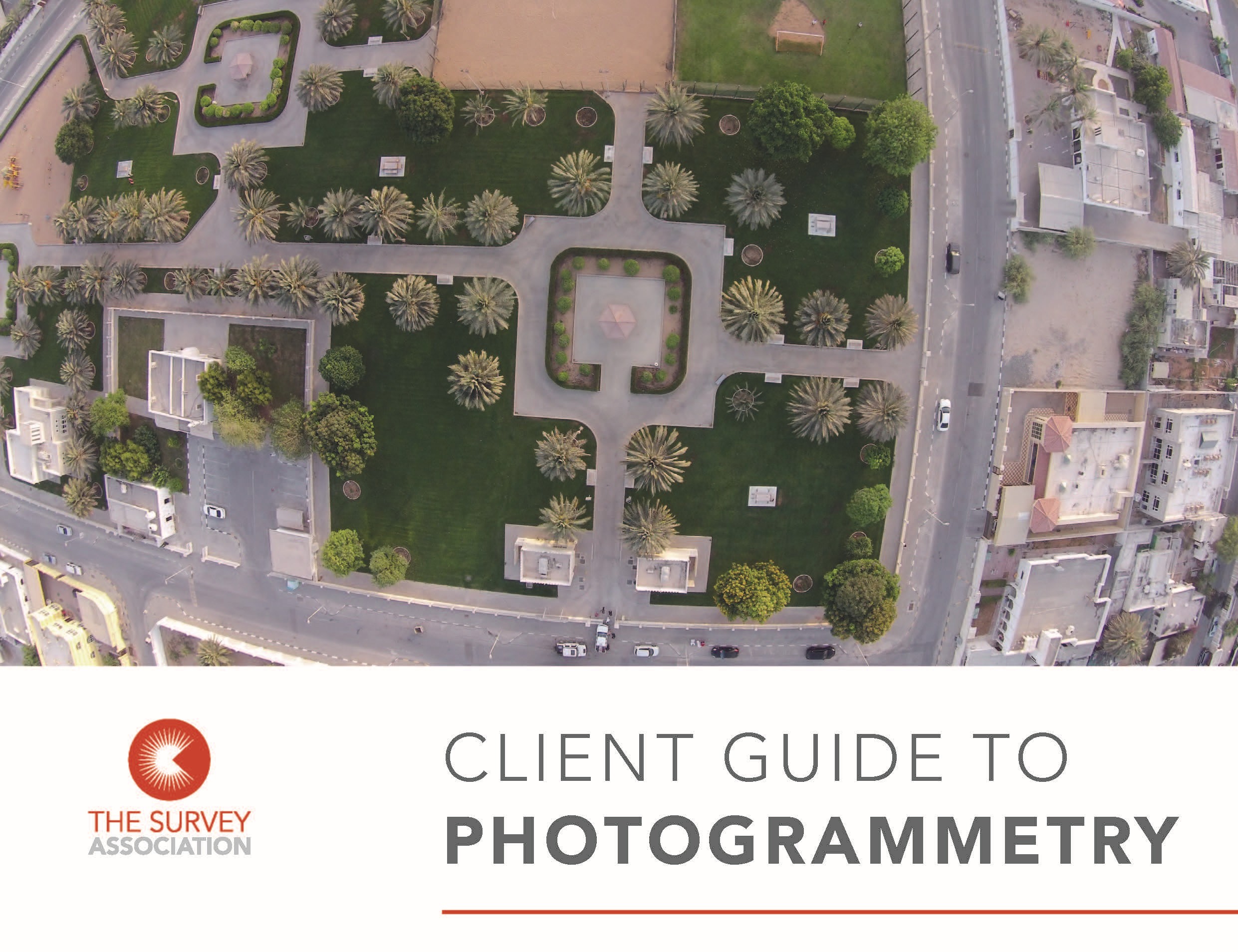
Photogrammetry is one of those technologies many people rely on without realising it. If you’ve looked at a detailed aerial map, explored a 3D model of a site, or reviewed a drone survey, there’s a good chance photogrammetry was behind it.
What is photogrammetry?
At its simplest, photogrammetry is the process of using digital photographs to measure and map the real world. By taking multiple, overlapping images of the same area from different angles, specialist software can identify shared features and calculate their size, shape and position. The result is an accurate, measurable representation of the environment, ranging from 2D plans to full 3D models.
Put simply, photogrammetry turns digital photos into reliable, usable data. While the principle has been around for over a century, advances in digital cameras, drones, computer power and processing software have transformed what is possible to achieve, making photogrammetry faster, more accessible, and more cost-effective than ever.
Why is photogrammetry important?
Photogrammetry is widely used across construction and engineering, planning and design, asset management, heritage, and environmental monitoring. Its main strength is the ability to capture large amounts of data quickly and safely. In many cases, information can be collected remotely using drones or aircraft, reducing the need for surveyors to access difficult or hazardous areas.
For clients, this means faster site data capture, reduced disruption and safer workflows.
It isn’t just used for large scale areas – it can also be used to capture artefacts and objects in high detailed in controlled conditions with DSLR (Digital Single-Lens Reflex) cameras.
Does photogrammetry just produce images?
Photogrammetry produces measurable survey data that can be used throughout a project. This can include:
- Orthophotos – accurate aerial images you can measure from
- 3D meshed/textured models – ideal for visualisation and analysis
- Point clouds – dense datasets similar to laser scanning
With the correct geospatial survey practices where survey control, GCPs (Ground Control Points) and targets, are deployed – these outputs provide visual clarity and technical accuracy, helping teams make better decisions from the outset.
The resulting 3D data can be combined with 3D laser scan point cloud data and traced to produce CAD drawings, or help build 3D models in software like Revit– ready for use in design and planning.
What are the benefits of photogrammetry?
Photogrammetry offers several key advantages:
- Non-intrusive data capture (no digging or physical contact)
- Rapid collection of large datasets
- Access to areas out of visual line of sight from the ground for laser scanners
- Highly detailed, visual outputs
- A permanent digital record that can be reused over time if survey control is used
However, it’s important to recognise that results depend on good planning, high-quality imagery, and professional geospatial survey expertise. When a drone is deployed, it is important that the pilot is licenced, experienced, has gained all the relevant permissions and authorisations, and fully is insured. While the technology is more accessible, producing reliable, survey-grade data still requires experienced practitioners.
Why should you care about photogrammetry?
For clients and stakeholders, the value is straightforward. Photogrammetry gives you rich, visual data you can measure, analyse and rely on throughout your project. Used correctly, it can improve understanding, reduce risk, and support better decision-making, from early planning to final delivery.
This is just an introduction. For detailed guidance on specifications, workflows and procurement, download the full client guide from The Survey Association website.