Published: 18 Mar 2026
Underground utility surveys are among the most comprehensive types of geospatial survey available. They can reveal what lies beneath the surface – pipes, cables, voids and other hidden features – helping project teams plan with far greater certainty, whatever the terrain and site conditions.
In the first of a series of snapshots discussing various aspects of surveying, we ask: “Where would we be without underground utility surveys?”
Essential groundwork
Underground utility surveys, also known as PAS128 surveys are an integral part of the construction process. Without them, it would be much more difficult to ascertain the suitability of a site for building projects, or to understand the location of services and potential obstacles underground.
The layout of any development depends heavily on the resources and services already present. Ideally, you don’t design a housing development on a site criss-crossed by underground electric cables and sewer pipes. That isn’t to say such obstacles are insurmountable, but an underground utility survey could identify them well in advance, allowing designers to proceed accordingly.
Under investigation
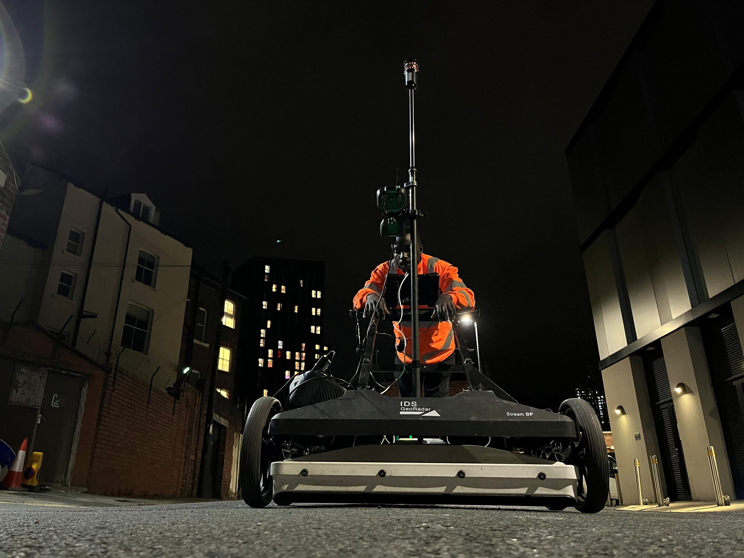
Underground surveys are carried out by qualified professionals using geospatial technology. Surveyors use electromagnetic detection, GPR (Ground Penetrating Radar), GNSS and total stations to create a detailed, multilayered digital map of what lies beneath. The construction process can be fraught with unforeseen challenges, but having the assurance of a PAS128 utility survey goes a long way towards minimising these risks.
Construction projects need underground utility surveys (or PAS128 surveys) to be carried out before building work can start. A surveyor will locate, identify and map most utility services beneath the surface. Most underground utilities, such as electric cabling, telecoms, drainage, gas, water, and fibre optic services, can typically be found, along with other buried hazards, voids and other subterranean features.
In a world where surveys are not carried out, expensive design changes or costly diversion of services might be needed mid-project – if existing services are found to obstruct foundation layouts or conflict with planned utility routes servicing the development.
Build on solid foundations
A world without underground surveys would mean far more exploratory, preparatory work before any design or construction could begin.
Our ‘depth of knowledge’ and expertise in underground utility surveying is reinforced by our commitment to ensuring our member companies carry out their work to the highest standard. TSA has created a PAS128 accreditation scheme called PUMA (PAS128 Utility Mapping Accreditation) for all its utility surveying members. PUMA provides a defined benchmark and creates a national standard for best practice. It demonstrates continuous professional improvement, gives clients confidence in survey quality, and can save time and costly delays.
To find out more about our PUMA accreditation, get in touch with us today.