Published: 17 Jun 2026
In today’s fast-moving built and natural environment sectors, access to clear, reliable information is essential. Whether you’re planning a development, managing infrastructure, or commissioning specialist data, understanding the role of geospatial surveying is key to making informed decisions. That’s where The Survey Association’s (TSA) free Client Guides are so useful.
The conversation should be all about what spatial evidence clients need, in order to make the right decision. A unified national campaign is underway to help reposition geospatial surveying from a technical support service to a critical evidence-based profession.
Client Guides: a practical resource for professionals and clients
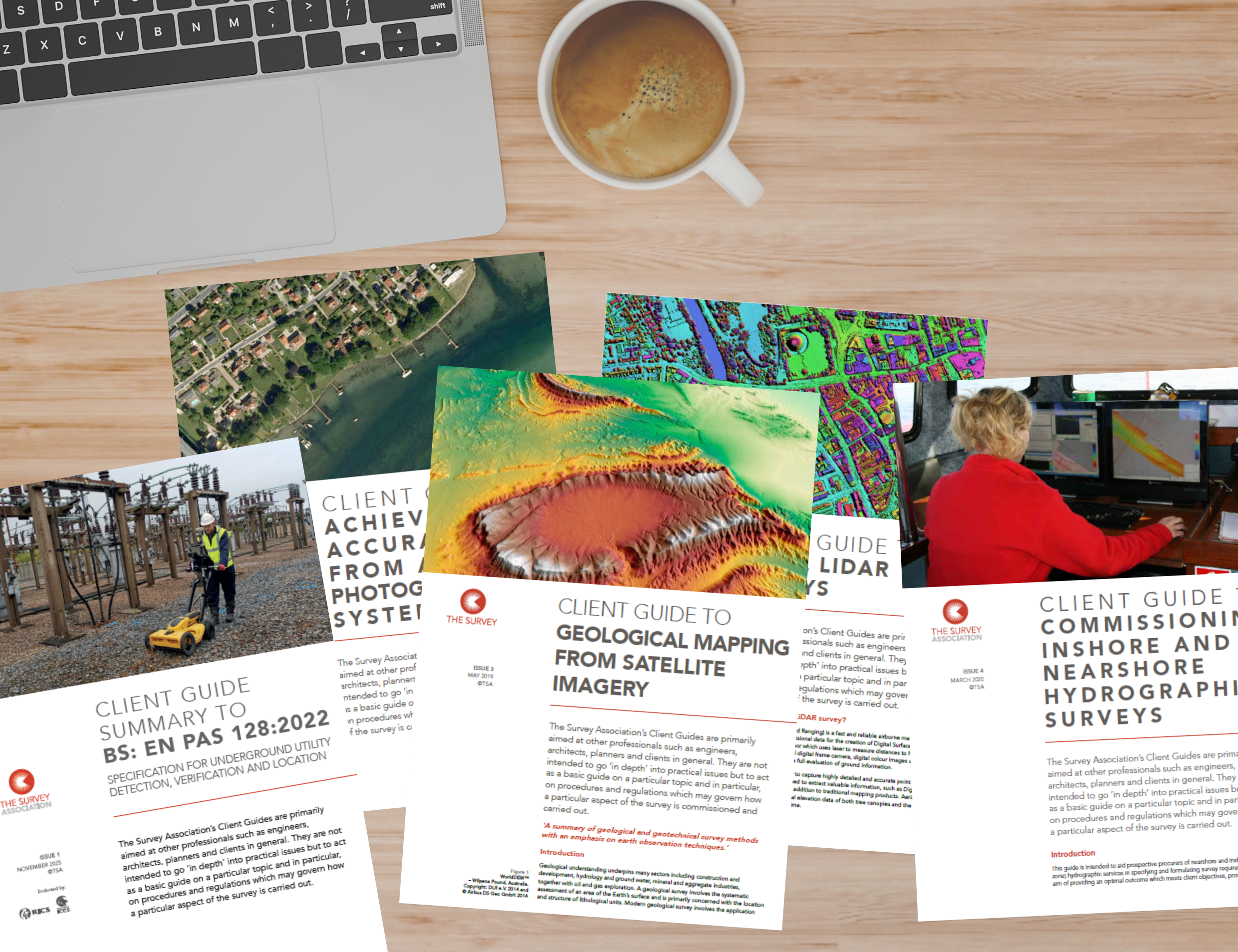
TSA’s Client Guides are not intended to overwhelm with highly technical details, but instead they provide concise, accessible introductions to a wide range of surveying disciplines. If you’re an architect, engineer, planner, project manager or simply a client looking to understand what you need and why, these guides offer a great starting point.
Each guide is carefully structured to answer the questions you’re most likely to ask:
- What is this type of survey?
- When and why is it needed?
- What equipment and techniques are used?
- What regulations or procedures apply?
This practical approach helps demystify surveying, giving you confidence when specifying requirements, managing risk, and engaging with surveying professionals.
A wide range of topics
TSA’s collection of Client Guides reflects the diversity of the geospatial surveying sector. From traditional ground-based methods to cutting-edge technologies, the guides cover subjects including:
- Topographical surveys
- Measured building surveys
- Setting out surveys
- Hydrographic surveys
- Aerial LiDAR
- Photogrammetry
…and many more.
If you’ve already explored our recent blog on photogrammetry, you’ll know how powerful modern surveying methods have become. The full range of TSA Guides reveals how different survey techniques work together to support everything from construction and infrastructure to environmental monitoring and asset management.
Why download a TSA Client Guide?
Reliable information can be difficult and time-consuming to sift through. TSA’s Client Guides offer a trusted shortcut, developed by geospatial experts and grounded in real-world practice.
By downloading a Guide, you can:
- Clarify your project requirements before commissioning work
- Avoid costly misunderstandings by knowing what to expect
- Understand the scope and limitations of different survey methods
- Stay aware of relevant standards and procedures
- Make better, more informed decisions
Whether you’re at the early planning stage or already working on a project, having the right information at your fingertips can make a huge difference.
Designed for easy access
All TSA Client Guides are available as downloadable PDFs, making them easy to access, share, and refer back to whenever you need them. They’re ideal for quick reading but also useful as ongoing reference documents throughout the lifecycle of a project.
If you’ve found value in learning more about photogrammetry, why stop there? There’s a whole library of guidance waiting to be explored. Each guide offers insights into a different aspect of surveying and its role in delivering successful outcomes.
Visit the TSA downloads section and discover the full range of Client Guides
Take a few minutes to browse. You may find exactly the information you didn’t realise you needed.
The Survey Association (TSA) is committed to promoting best practice and improving understanding across the surveying profession. Our Client Guides are just one way we’re helping to bridge the gap between technical expertise and practical application.
Discover TSA’s Client Guides here https://www.tsa-uk.org.uk/resources/downloads/